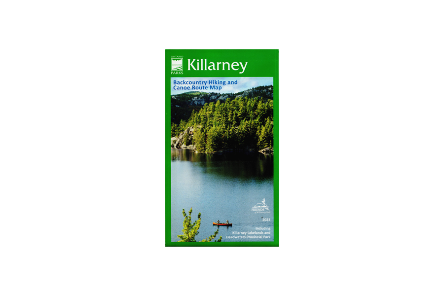
Killarney Map
$19.95
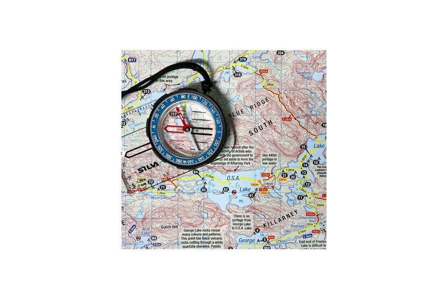
Updated for 2023! The waterproof topographic map is essential for a safe and enjoyable backcountry canoeing or hiking experience.
17 in stock
Description
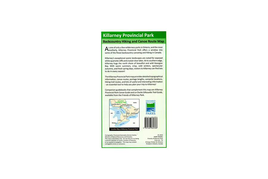
The waterproof topographic map is essential for a safe and enjoyable backcountry canoeing or hiking experience. It displays all the interior canoe and hike-in campsites, trails, portages, and much more. In addition, it includes surrounding crown land areas such as Philip Edward Island. Updated for 2023.
