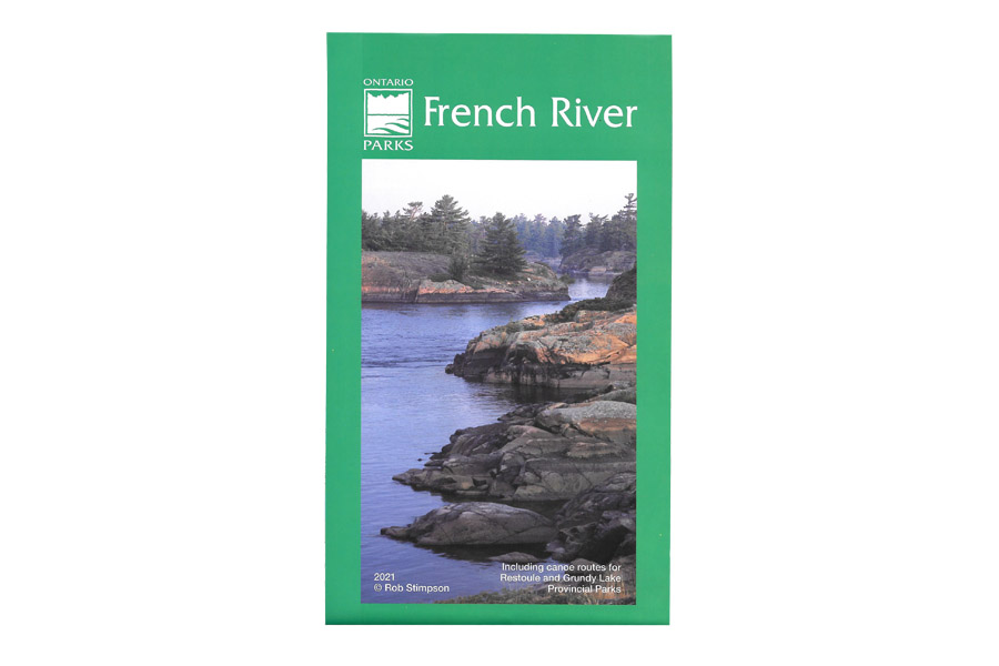
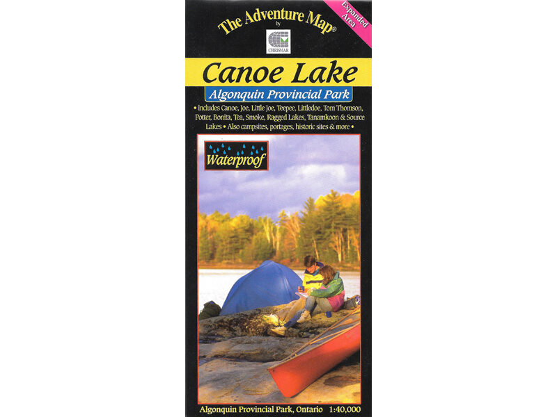
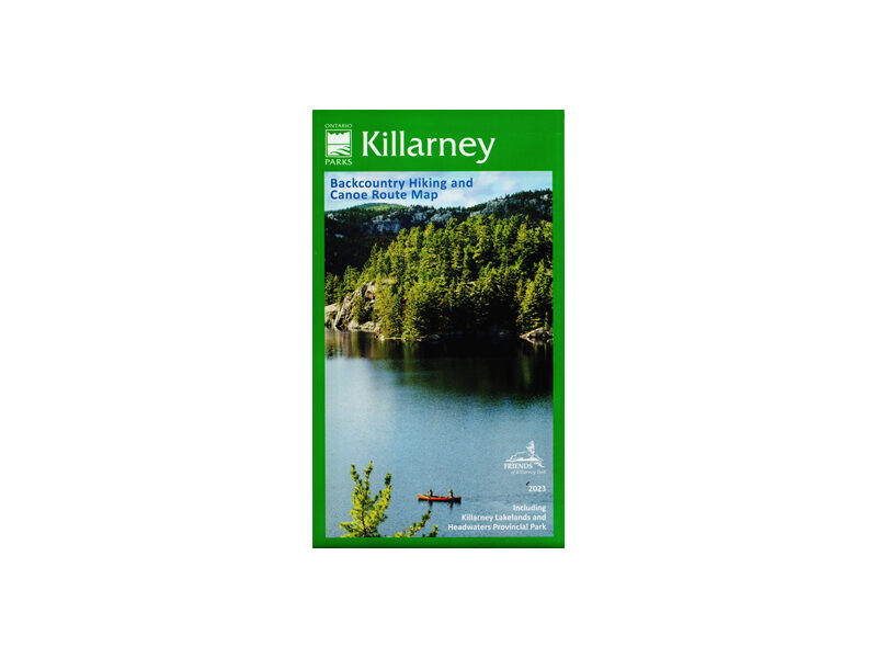
French River Map
$16.95
Listing all the portages, rapids, and campsites, this waterproof map covers the entire length of this Canadian Heritage River.
Out of stock
Description
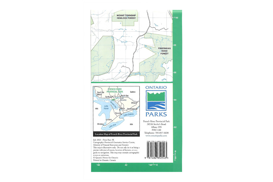
Listing all the portages, rapids, and campsites, this waterproof map covers the entire length of this Canadian Heritage River, from Lake Nippissing to Georgian Bay. It also includes canoe routes for Restoule and Grundy Lake Provincial Parks.
